
Walking through the mining landscape of Rio de Frades
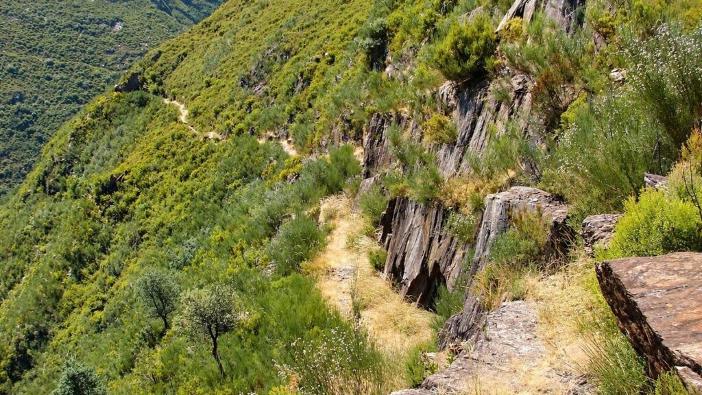
The PR8 Black Gold Route leads through the mountains of Rio de Frades, where the remains of an old mining industry tell part of the story of this remote corner of the Arouca Geopark.
Known in Portuguese as the Rota do Ouro Negro, the six-kilometre trail connects Fuste with Rio de Frades, passing through mountain villages, wooded slopes and the valleys of the Pena Amarela and Covela streams. Along the way, traces of mining sit within a landscape shaped by water, rock and generations of rural life.
For visitors staying in Rio de Frades, the PR8 offers a way to explore the valley on foot and discover the history that lies beyond the village itself.
A path through the mountains
The route begins at the Chapel of Santa Catarina in Fuste and finishes in Rio de Frades. Walkers can also access the trail from Rio de Frades, although the route itself is linear rather than circular.
The path crosses a varied mountain landscape, linking small settlements with the remains of the mining activity that once shaped this area. The terrain changes as the trail descends towards the valley, with streams and rocky slopes providing a striking contrast to the traces of industry.
The official Arouca Geopark route guide lists the PR8 as six kilometres long, with an average duration of five hours and a medium-to-low difficulty rating. Another local tourism description gives a shorter walking estimate, so allow enough time for the terrain, breaks and your own pace.
What to look out for along the route
1. Fuste and the mountain villages
Starting at the Chapel of Santa Catarina in Fuste, the trail leaves the village behind and enters the surrounding hills. Fuste is one of the settlements that gives the route its rural character, while Pedrógão provides a worthwhile stopping point along the way. The Arouca Geopark specifically recommends pausing here to rest before continuing.
Rio de Frades, at the other end of the route, offers a closer connection to the area’s mining heritage. The village is also linked to another historic path: the PR6 Postman’s Path, which connected Rio de Frades with Cabreiros and Tebilhão. While the PR8 follows the story of mining, the PR6 reveals another side of mountain life — the routes that kept communities connected.
2. The old mining landscape
The former Rio de Frades Mines are the principal point of interest on the PR8. Their remains recall the period when the search for tungsten brought mining activity and workers into this mountain valley.
The wider Arouca mining region contains other historic workings, including the Pena Amarela Mines. These are part of the area’s broader mining heritage, although visitors should not assume that every mine site lies directly on the PR8 trail.
The name Black Gold Route refers to the importance of tungsten, also known as wolfram, a mineral that became highly sought after during the Second World War. Its extraction left a lasting mark on the region and on the communities that lived here.
Take care around old mine entrances and never enter abandoned workings.
3. The Pena Amarela and Covela streams
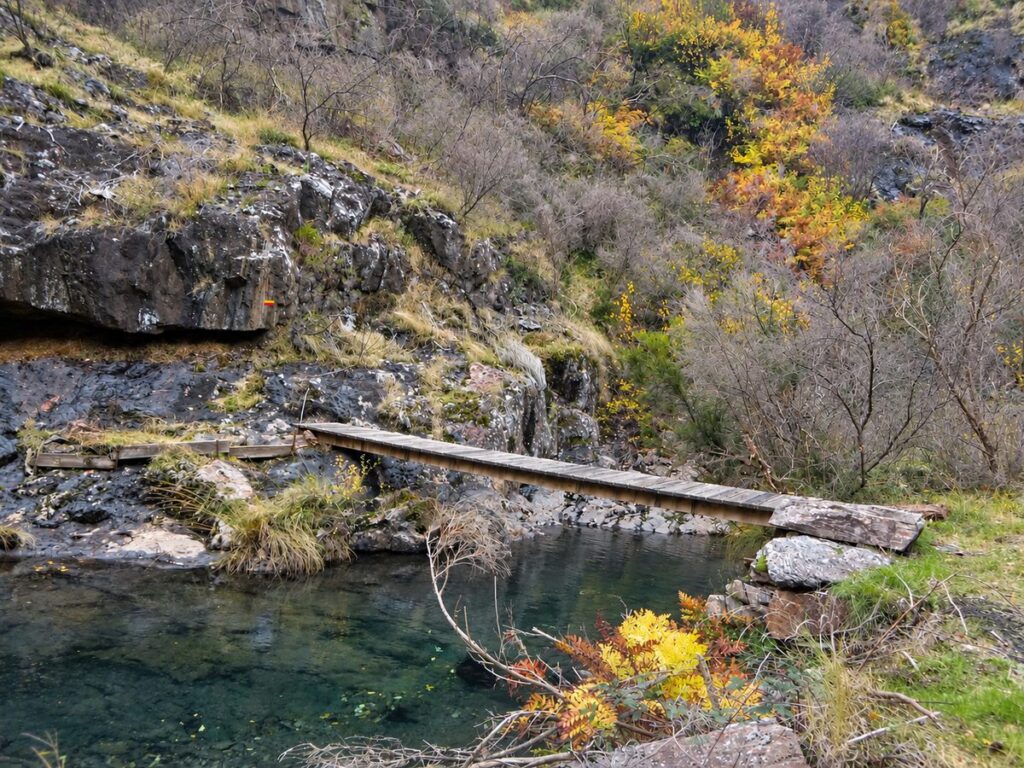
Water is another defining feature of the route. The Pena Amarela and Covela streams run through the valleys, shaping the terrain and adding a natural dimension to the walk.
The streams are also known for canyoning, making the area a destination for visitors interested in outdoor adventure as well as hiking. Their steep-sided valleys provide a different perspective on the landscape that surrounds the old mining sites.
The Arouca Geopark’s route description identifies both streams among the notable features of the PR8 Gold Black Route.
The Rio de Frades Mines
The former Rio de Frades Mines are central to the story of the Black Gold Route. Their remains lie among the mountains, where vegetation has gradually reclaimed parts of the old industrial landscape. The contrast between the structures left behind and the surrounding hills makes this a place where the history of the valley can still be seen in the terrain.
The Rio de Frades Mines geosite provides further information about the mining heritage and its place within the Arouca Geopark.
Walking through this landscape offers a glimpse of a time when mining shaped life in this remote mountain village. The old workings are reminders not only of the search for valuable minerals, but also of the people who came here to work, the communities that grew around the mines and the changes that followed their decline.
As the trail continues through the mountains, the remains of industry become part of a wider landscape of streams, vegetation and quiet valleys. The Black Gold Route brings these elements together in a walk through a place where human history and the natural world remain closely intertwined.
PR8 Black Gold Route
– at a glance
- Distance: 6 km
- Route type: Linear
- Average duration: Around 5 hours
- Difficulty: Medium/low
- Starting point in Fuste: Chapel of Santa Catarina
- Alternative access: Rio de Frades
- Altitude range: Approx. 350–590 metres
- Families with children: Better suited to older children used to walking long distances.
- Dogs: Suitable for fit dogs used to hiking.
- Main points of interest: Fuste, Pedrógão, Rio de Frades, the former Rio de Frades Mines, and the Pena Amarela and Covela streams.
Before you set off
The PR8 Black Gold Route is linear, so plan your return journey in advance. If you start in Rio de Frades and finish in Fuste, arrange transport between the two points or plan to walk back.
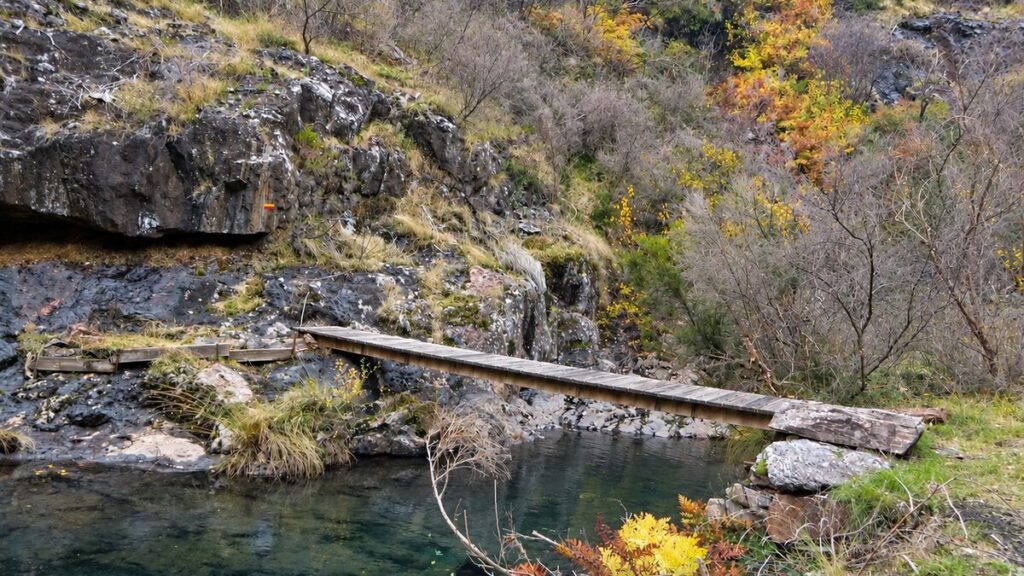
Allow time for the climb after crossing the small wooden bridge over the stream. Bring plenty of water and pack snacks or a picnic lunch to enjoy along the way. Children should be comfortable with longer walks, and dogs should be fit enough for mountain terrain.
The route is marked with yellow and red trail signs. As an extra precaution, download the route on Wikiloc before setting off and save the map for offline use. Follow the trail markers alongside your GPS, and make sure your phone is fully charged.
Take care near the streams, particularly after rainfall, when rocks and paths may be slippery. Stay on the marked route and never enter abandoned mine workings.
Allow enough time to enjoy the walk without rushing. Published walking times vary, so factor in breaks and the climb after the stream crossing. There is no dedicated transport service between Fuste and Rio de Frades, so plan your return before setting off.
The Story Behind the PR8 Black Gold Route
Walking the PR8 Black Gold Route reveals more than the remains of an old mining industry. The name refers to tungsten, also known as wolfram, a valuable mineral that played a crucial role in the history of Rio de Frades and the wider Arouca region. Mining transformed this remote mountain village, shaped the lives of its inhabitants and left traces that can still be seen across the landscape.
Curious to understand more about this remarkable place, we searched through the historical records and information available to us, piecing together as much as we could about the mining history of Rio de Frades. What emerged was a story of a village shaped by the search for tungsten, the people who came to work in its mines and the wider events that brought this isolated valley into the spotlight.